
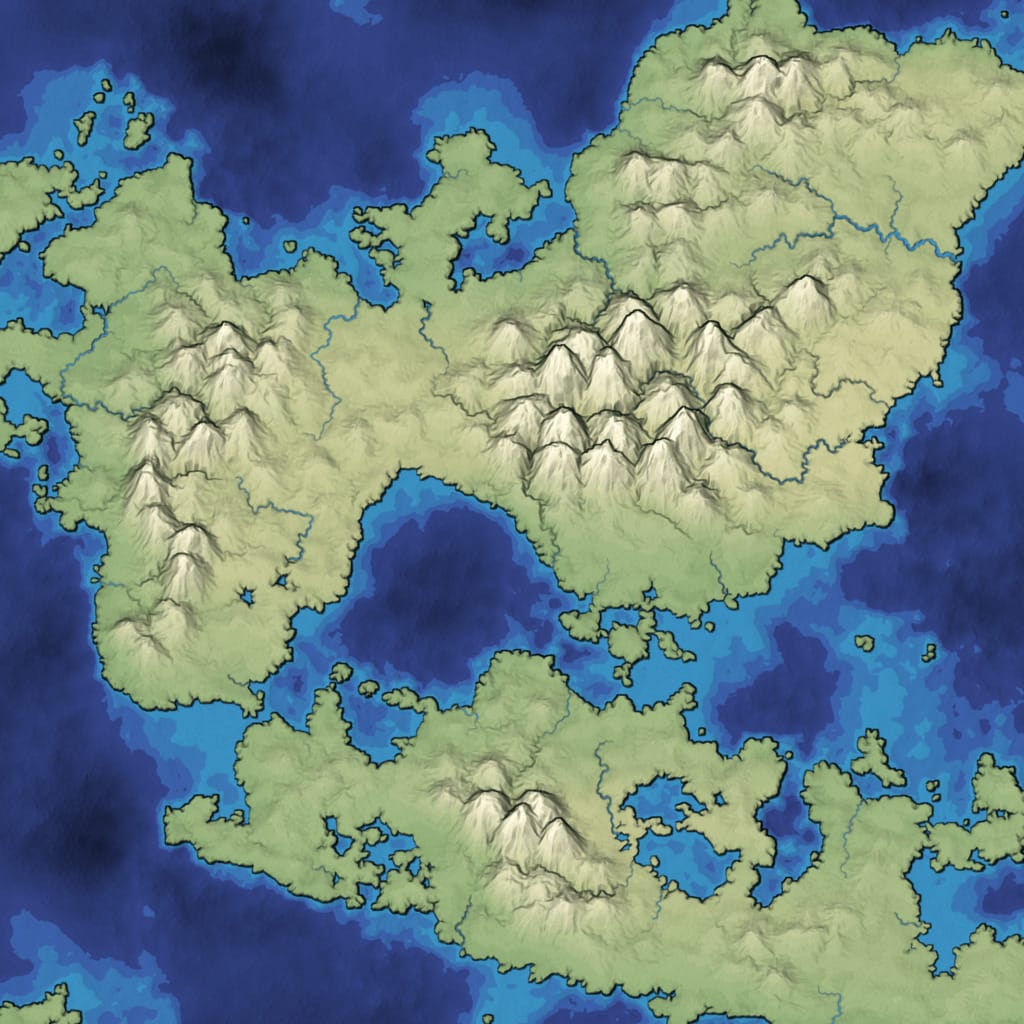
Mapgen4 is a procedural wilderness map generator I wrote during 2017 and 2018, and updated in 2023. It’s written in JavaScript/TypeScript and designed to:
- run fast enough to regenerate in real time as you paint terrain
- look pretty instead of generating realistic terrain
Voraussetzungen:
- Node.js (LTS empfohlen) und npm
- Optional: Python 3 (für den lokalen Webserver)
Empfohlener, plattformübergreifender Weg (Windows/macOS/Linux):
npm install
npm run build
Starten (lokaler Server auf Port 8000):
npm run startDanach im Browser öffnen: http://localhost:8000/ Hinweis: Die Startseite leitet automatisch nach embed.html weiter.
Windows (PowerShell) – Option ohne npm-Skripte (optional):
New-Item -ItemType Directory -Path build -Force | Out-Null
npx esbuild --bundle generate-points-file.ts --platform=node --format=esm --external:fs --outfile=build/_generate-points-file.js
node build/_generate-points-file.js
npx esbuild --analyze --bundle mapgen4.ts --minify --sourcemap --outfile=build/_bundle.js
npx esbuild --bundle worker.ts --sourcemap --minify --outfile=build/_worker.js
python -m http.server 8000
Troubleshooting (Windows):
- Wenn npx/esbuild nicht gefunden wird: Installiere Node.js neu oder führe vorher npm install aus.
- Alternativ kannst du Git Bash oder WSL verwenden und ./build.sh ausführen.
I have a series of blog posts about how I made these maps:
- History of the project
- Alternative to Voronoi cells
- Compact data structure for the Delaunay+Voronoi mesh
- Elevation to match the desired look instead of tweaking the look to match the elevation
- Distance fields for elevation
- Multithreading to make it run acceptably fast
- Fixing the appearance of rivers
- Revisiting distance fields, which didn’t work out like I hoped
- Rainfall, biomes, evaporation, wind
- Rendering with an oblique projection, not the standard rotate+translate+scale
- Rendering outlines
- Some bug fixes
- River generation and data structures
It’s a continuation of ideas I developed for mapgen2 back in 2010, but at a much larger scale. The underlying code can support 1 million+ Voronoi cells (change spacing in config.js to 0.7), including a very detailed river network, but the rendering code and other parameters are designed to look prettiest around 25k cells.
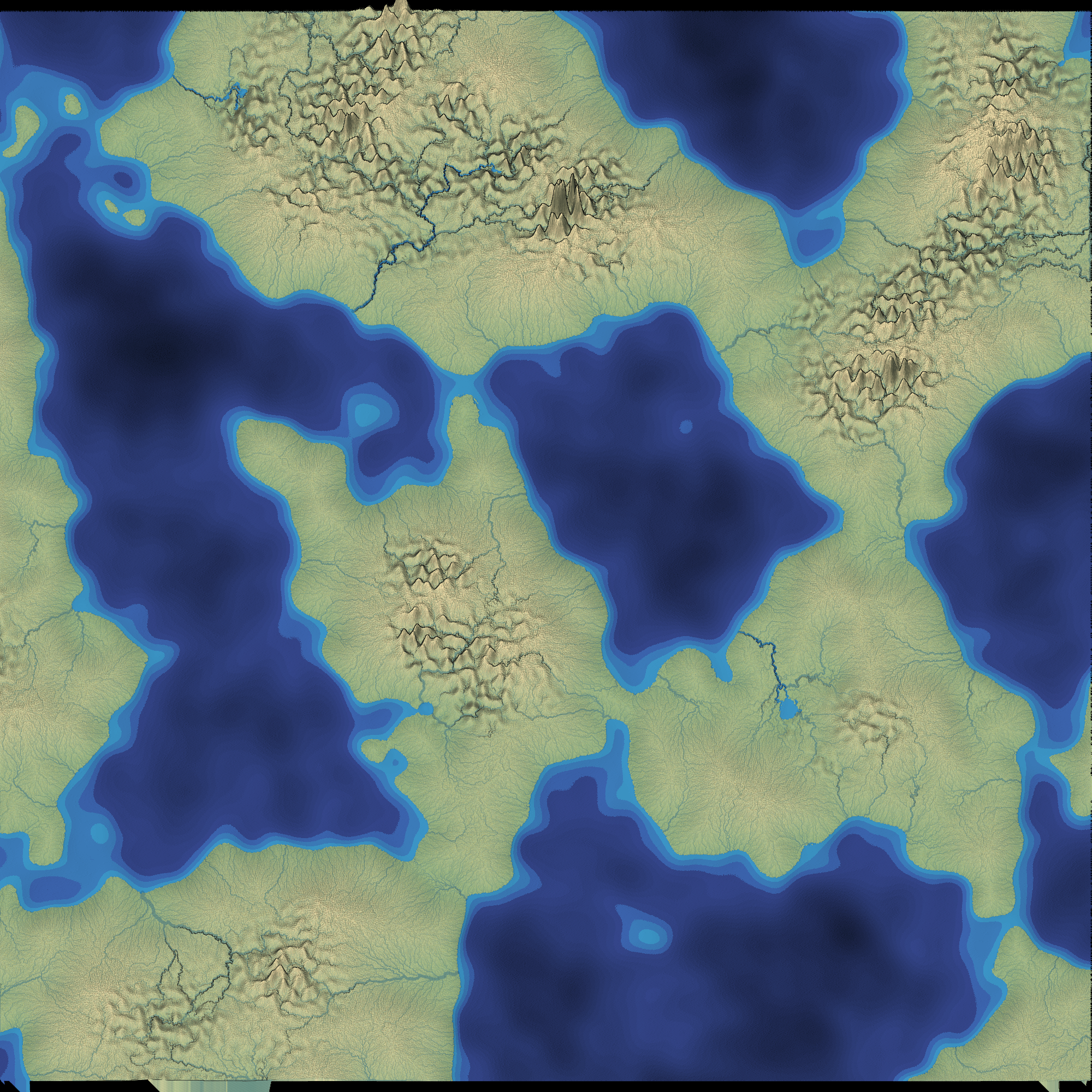
There’s plenty more that could be done to make it even faster and prettier. There are plenty of features that could be added, such as drawing your own rivers, sphere output, natural resources, towns, forests, names, roads, and nations, but I’m leaving those for a future project.
The entry point is mapgen4.ts. The main data structures are in the dual-mesh/ folder. The map generation algorithms are in map.ts. The input painting is in painting.ts. The output rendering is in render.ts. Calculations are in worker.ts. Calculations shared between the worker and renderer are in geometry.ts.
Although the code is TypeScript, I’m using esbuild for building, which does not check the types. Instead, I have type checking in the IDE only.
Mapgen4 and helper libraries I wrote (dual-mesh, prng) are licensed under Apache v2. You can use this code in your own project, including commercial projects.
The map generator uses these libraries:
- Delaunator from MapBox is licensed under the ISC license.
- fast-2d-poisson-disk-sampling from Kevin Chapelier is licensed under the MIT license.
- simplex-noise from Jonas Wagner is licensed under the MIT license.
- flatqueue from Vladimir Agafonkin is licensed under the ISC license.
The rendering code uses these libraries:
- regl from Mikola Lysenko is licensed under the MIT license.
- gl-matrix from Brandon Jones, Colin MacKenzie IV is licensed under the MIT license.
The build step uses esbuild from Evan Wallace, licensed under the MIT license